Log in
All resources
Create a design
571 Free Images of Maps Of North America
geography
earth
globe
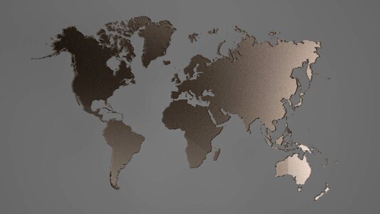
world
planet
usa
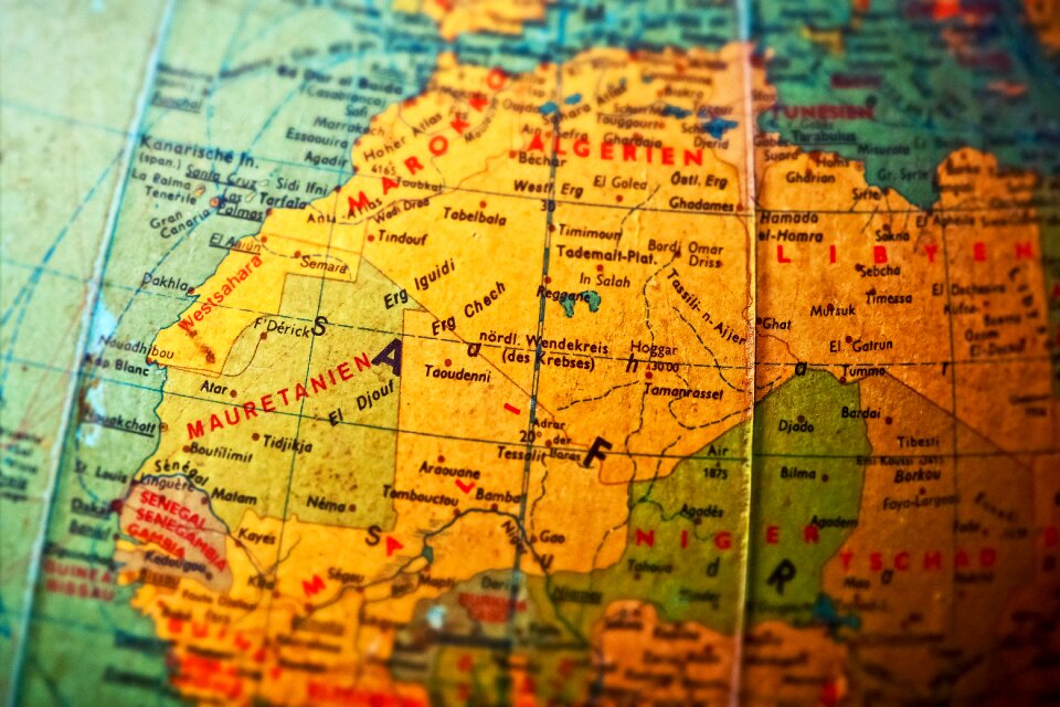
africa
south america
asia
europe
maps
ball
atmospheric circulation
1880 maps
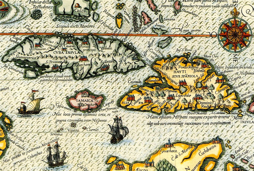
theatrum orbis terrarum (london 1606)
files from the bodleian libraries
maps of the aleutian islands
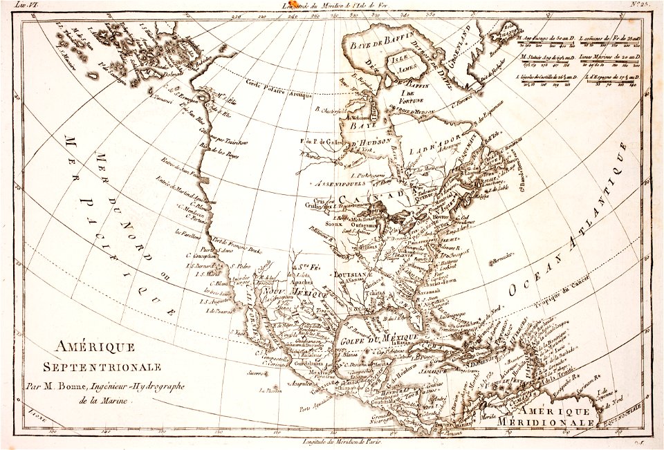
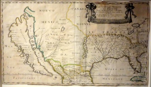
1780 maps of north america
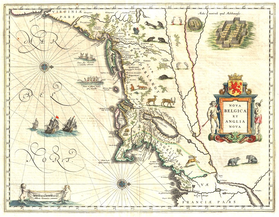
old maps of new york (state)
new york city
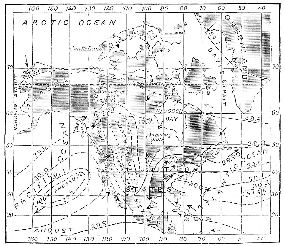
popular science monthly illustrations/volume 13
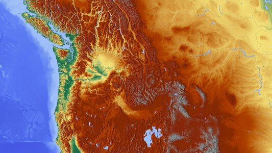
drainage basin maps of north america
africa
maps
mobile river
alabama
old maps of colombia
theodor de bry
background
maps
background
maps
maps
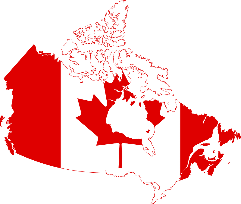
flag
background
maps
planet
maps
collections of the musée national des beaux-arts du québec
18th-century maps of north america
cornell university library
abolitionism
vehicle
maps
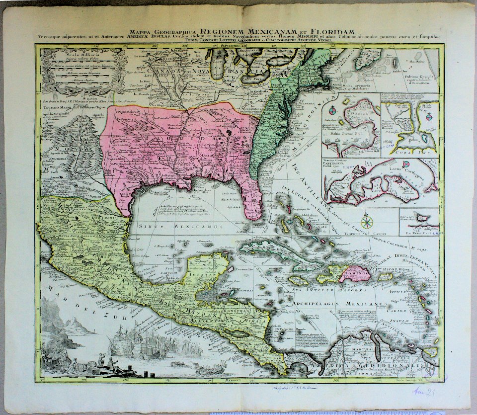
old maps of central america
old maps of florida
travel
maps
africa
maps
background
maps
background
maps
background
maps
background
maps
travel
maps
background
maps
travel
maps
background
maps
background
maps
background
maps
background
maps
old constellation maps
maps by samuel dunn
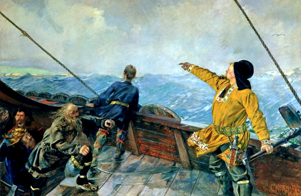
thorfinn karlsefni
norwegian
diego gutiérrez
renaissance
background
maps
animals
mammals
planet
maps
planet
earth
animals
tree
nature
tree
icons
symbol
blue sky
blue
travel
maps
travel
maps
history of antwerp
renaissance
self-published work
pages with maps
mountain
maps
1656 maps of north america
self-published work
planet
maps
travel
maps
landscape
maps
background
symbol
science
maps
icons
symbol
ecosystems
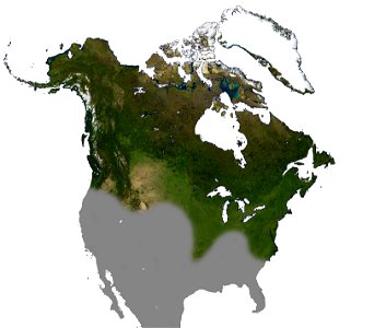
america
landscape
maps
lawrence h. slaughter collection of english maps, charts, globes, books and atlases
nypl lionel pincus and princess firyal map division
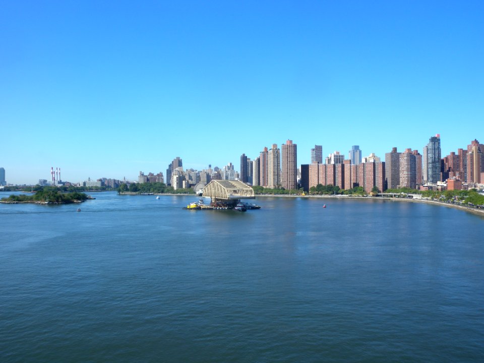
skyline
travel
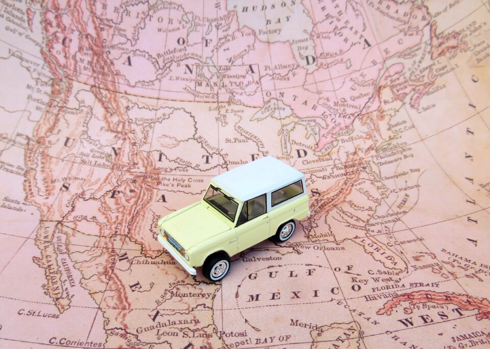
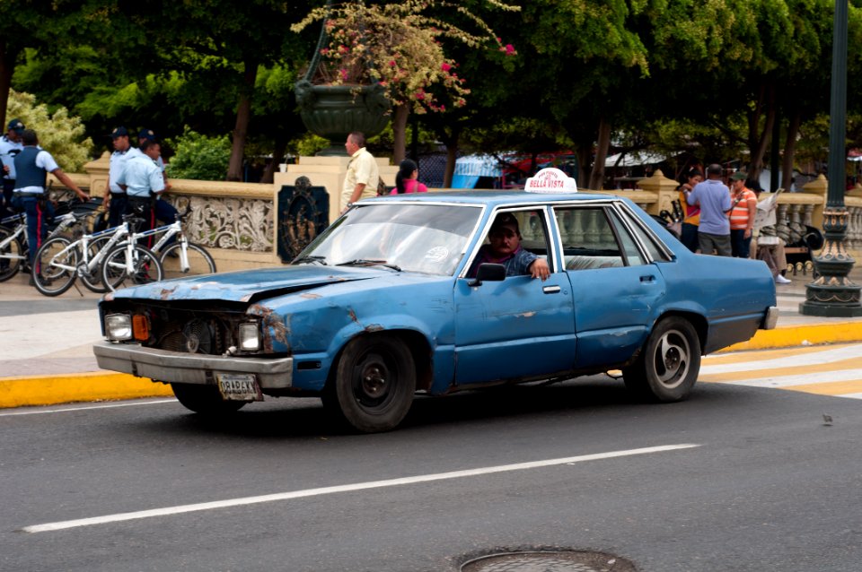
vehicle
car
ecosystems
america
self-published work
architecture
landscape
maps
landscape
maps
ecosystems
america
1560s maps of north america
paolo forlani
european exploration of africa
portuguese empire
2009 queens photos by jim.henderson
pages with maps
18th-century maps of north america
1708 maps of north america
chokoloskee bay
coast
atlantic ocean
carolina
shopping
city
architecture
city
city
car
atlantic ocean
carolina
1730s maps of south carolina
old maps of north america
atlantic ocean
black river
old maps of the united states
sanson maps of north america
atlantic ocean
atlantic
atlantic ocean
carolina
old maps of the united states
copper engravings
coquille river
ecosystems
atlantic ocean
carolina
atlantic ocean
biscayne bay
maps by emanuel bowen
robert sayer
1747 maps of north carolina
maps by emanuel bowen
atlantic ocean
albemarle
cornell's primary geography (1860)
1867 maps of canada
continent
maps
lawrence h. slaughter collection of english maps, charts, globes, books and atlases
nypl lionel pincus and princess firyal map division
ecosystems
beach
media contributed by cleveland public library
georg widmann
david rumsey historical map collection
andrew dury
atlantic ocean
back river
maps of america by guillaume delisle (18th century)
1760s maps of the americas
robert wallis (engraver)
henry warren
maps of the indigenous peoples of north america
renaissance
sanson maps of north america
maps by nicolas sanson
sanson maps of north america
maps by nicolas sanson
maps by emanuel bowen
robert sayer
sanson maps of north america
maps by nicolas sanson
101 - 200 of 571
Next page
/ 6